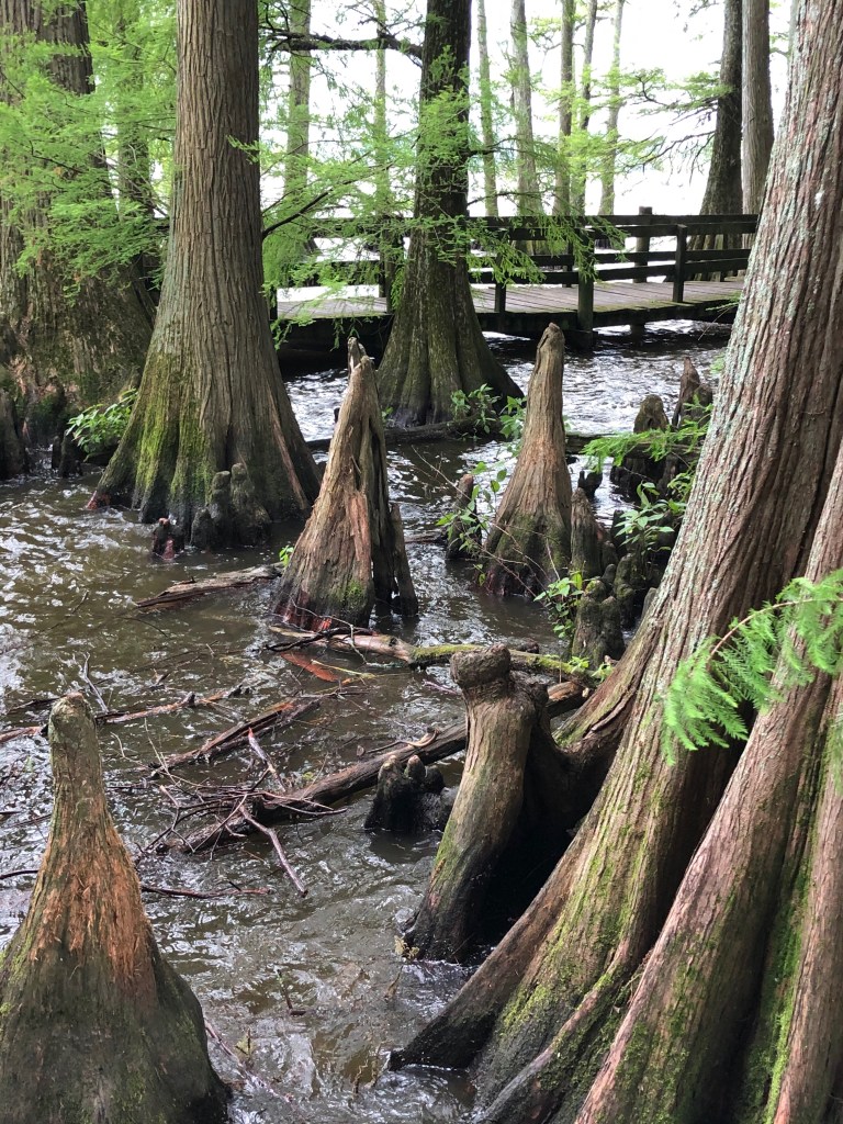
It’s suddenly like being in another state or another country. Driving across the flatlands of west Tennessee with cotton and grain fields stretching to the horizon, I abruptly come upon cypress trees standing in the waters of Reelfoot Lake.
At Reelfoot in early March, I’m eager to start a birding expedition up the Mississippi Flyway. Birds originating in the northern breeding grounds of the Prairie Pothole Region of the Northern Great Plains and also the Western Boreal Forest of Canada, migrate south come fall, following the river through the Mississippi Valley for winter layover along the Gulf of Mexico and in Central and South America, returning north in spring. Astonishingly, more than 325 bird species, including 60 percent of migratory waterfowl, migrate along the Mississippi Flyway, perhaps the most important flyway in the world. At Reelfoot, a primary stopover in the migration, over 250 species have been recorded. In addition to a designated state park, the Reelfoot National Wildlife Refuge on the upper third of Reelfoot Lake serves as safe harbor for migratory birds.
The State of Tennessee selected Reelfoot Lake to be a state park in recognition of not only its wildlife and the recreational potential of the 15,500-acre lake nearly adjacent to the Mississippi River, but also for the history of its creation. From December 16, 1811 until March 8, 1812, the New Madrid Earthquake shook the area with a total of 1,874 recorded tremors, some of the most powerful quakes to hit North America. New Madrid was a nearby Spanish/French settlement in what is now Missouri and so lent its name to the earthquake. Uplift along a fault across the Mississippi temporarily dammed the river, pushing the water upstream for a time and spilling the river over its banks. When the water settled, a lake had formed to the east along what had been the swampy channel of the Reelfoot River.
At Reelfoot Lake State Park Visitor Center, I’m just in time to join a small group being led by park archaeologist Bill Lawrence to boat across the lake to some little-known Indian mounds. I follow the group along a boardwalk through large cypress trees at the lake edge. At a loading dock, we board two pontoon boats and float along a channel to open water where several fishermen are out in their boats, widely scattered.
Slowly moving across the lake provides a good opportunity for birding—osprey nesting in a cypress, great blue heron stalking the shallows, wood ducks resting on the surface, lesser scaup skimming away as the boats approach. Someone notices a bald eagle flying beyond the trees, and we soon spot the eagle nest.
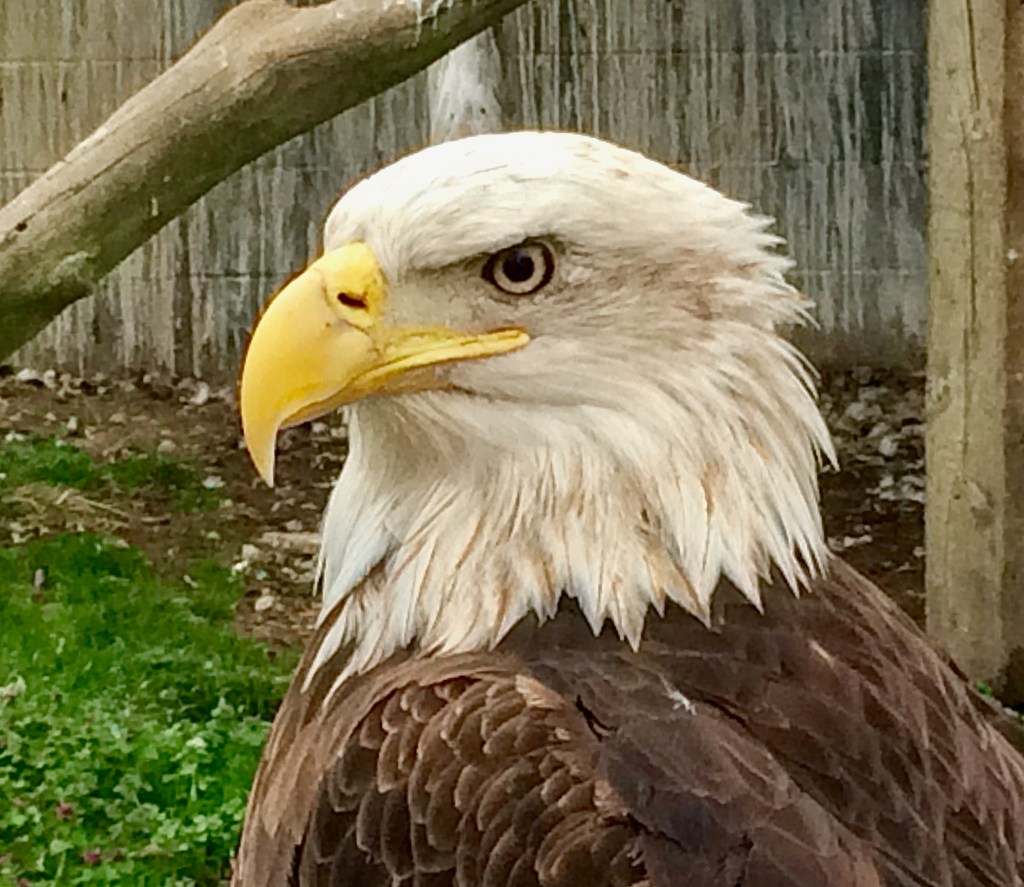
Perhaps 200 eagles spend the winter months before heading back north as the season warms. When I’ve been here in the peak season, January through February, four and five eagles at a time stand in tall cypress resembling huge Christmas ornaments or skim along the lake surface in search of fish. A number of eagles have found the habitat of Reelfoot Lake so suitable, they have stopped migrating and stay at the lake all year. The one we’ve spotted must be a year-round resident since there is a nest and breeding may have already occurred.

After half an hour, we move into shore on the far side and take turns unloading from the two boats at a narrow inlet that can accommodate only one boat at a time. Once onshore, Lawrence leads the way. “There is no trail,” he says, “because we don’t want to encourage people to find this place. That would increase the chances of looting of the mounds.”
“Are we on an island in the lake?” I ask.
“Depends on the water level. With the water low, this area is connected to the mainland on the backside. But even with high water, you could walk across no more than knee deep.”
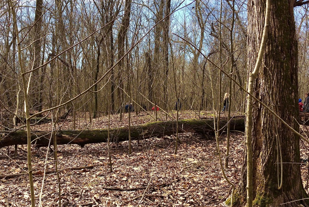
Clearly there is no path as we bushwhack through the lowland forest. An occasional branch swipes my face. We eventually come upon a mound, maybe six feet high. I might not have paid any attention to it if Lawrence hadn’t pointed it out.
Cariolinian Burial Mound
“These are burial mounds,” he says, “twenty-one in all.”
And now that I know what I’m looking for, I can see other mounds in the leafless forest in mid-March. I’d hardly notice them at all in summer with leaves on the trees.
“Since these are burials, the mounds have not been excavated, which we don’t do anymore out of respect for the dead and for native cultures. So what we know about these mounds is from similar mounds that were excavated in other places in the past.”
Lawrence explains that these burials were likely associated with a village site now under the lake waters. The mounds contain several burials each, most likely family or clan associated. And clearly care has been taken in construction of the mounds, which are covered in a layer of large, relatively flat rocks. Since there are no such rocks in this lowland area, they would have been brought from miles away. These people were part of the Mississippian Mound Builders, a pre-Columbian indigenous culture occupying the Ohio and Mississippi River Valleys. They constructed mounds for a variety of purposes, including as the base for housing and religious structures, as well as burials.
“This was a subculture of the Mound Builders,” Lawrence says, “called ‘Cairolinian.’”
Not familiar with the term, I try to spell it, “c-a-r …?”
Lawrence laughs, “You can always tell when an someone has never been to Cairo, which is pronounced like the syrup, ‘Karo’.”
The founders of the nearby Illinois town thought the region at the confluence of the Ohio River with the Mississippi somehow resembled Cairo, Egypt, that rests on the north-flowing Nile River just as it spreads into a delta flowing into the Mediterranean Sea. Anglicization of the pronunciation followed. Once an important port for riverboat traffic on the two rivers during the 1800s, the Illinois town of Cairo is partially abandoned today.
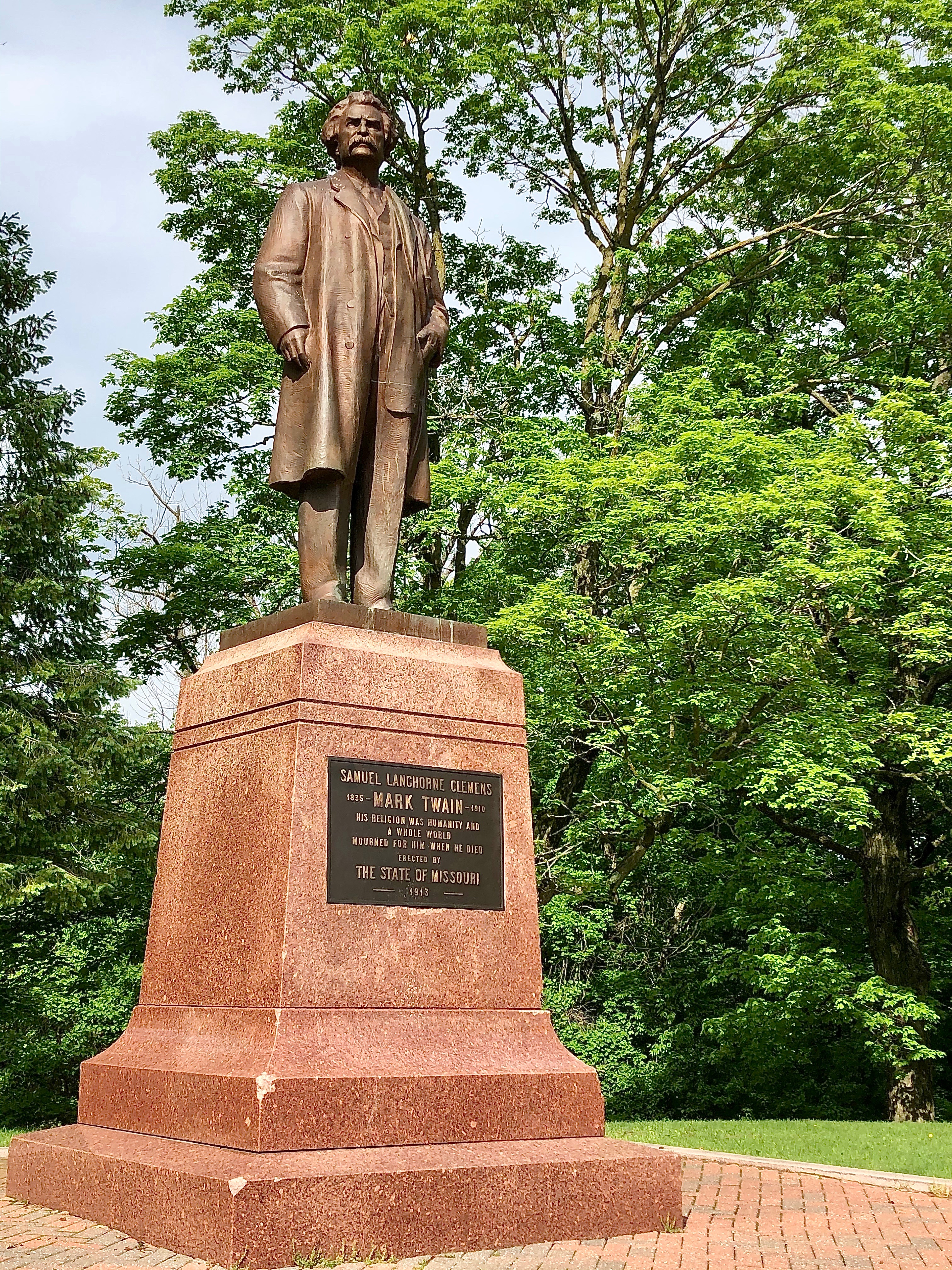
Mark Twain (Samuel Clemens) in Life on the Mississippi described the once bustling town. “Cairo is a brisk town now; and is substantially built, and has a city look about it … and her situation at the junction of the two great rivers is so advantageous that she cannot well help prospering.”
However, the riverboat era only lasted a few decades. As Twain tells it,
Mississippi steamboating was born about 1812; at the end of thirty years, it had grown to mighty proportions; and in less than thirty more, it was dead! A strangely short life for so majestic a creature. …The railroads have killed the steamboat passenger traffic by doing in two or three days what the steamboats consumed a week in doing; and the towing-fleets have killed the through-freight traffic by dragging six or seven steamer-loads of stuff down the river at a time, at an expense so trivial that steamboat competition was out of the question.

Although becoming a celebrated writer and humorist, especially with his books, including The Adventures of Tom Sawyer and Adventures of Huckleberry Finn, Twain never lost his love of steamboating. Recounting his apprenticeship in Life on the Mississippi, he says, “If I have seemed to love my subject, it is no surprising thing, for I loved the profession far better than any I have followed since, and I took a measureless pride in it.”
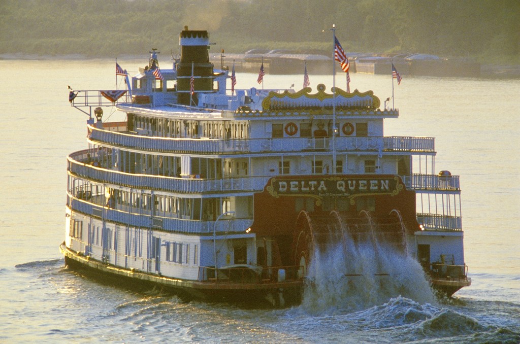
Photo 52309975 © Joe Sohm | Dreamstime.com
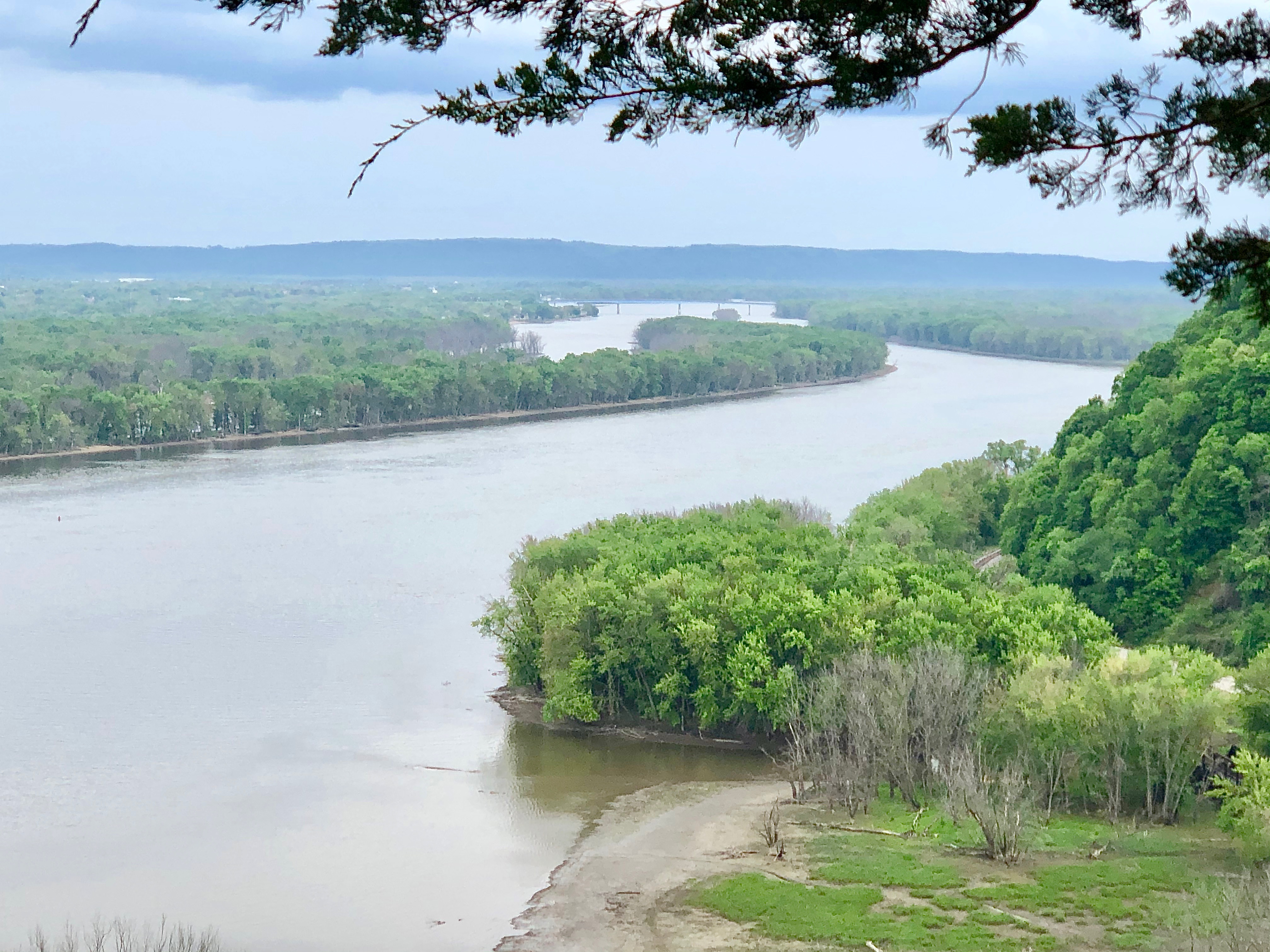
The next day, I cross a high bridge over the Mississippi River into the southern projecting panhandle of Missouri and head north along the river. Two driving routes, one on each side of the river, have been designated the Great River Road passing through ten states. The routes are signed with the image of a riverboat steering wheel, or helm. At 3,000 miles, this is America’s longest National Scenic Byway.
I first stop at the small town of New Madrid, the pronunciation now anglicized—not like the original Spanish, but instead with the accent on the first syllable.
In the latter part of Life on the Mississippi, Twain tells of his return to the river. “AFTER twenty-one years’ absence, I felt a very strong desire to see the river again, and the steamboats, and such of the boys as might be left; so I resolved to go out there. ” He speaks of stopping at New Madrid on his revisit not long after the flood of 1882:
The town of New Madrid was looking very unwell; but otherwise unchanged from its former condition and aspect. Its blocks of frame-houses were still grouped in the same old flat plain, and environed by the same old forests. It was as tranquil as formerly, and apparently had neither grown nor diminished in size. It was said that the recent high water had invaded it and damaged its looks.
Today’s New Madrid is a sleepy town with several historic homes still standing. I stop in the Historical Museum housed in a former saloon on Main Street and wander through displays on the history of the town but also the 1811-1812 earthquakes. A seismograph still tracks activity along the New Madrid fault.
In May 1804, Lewis and Clark set out on their famed exploration of the west by boat up the Missouri River from its junction at St. Louis. The great spring migration on the Mississippi was well underway.
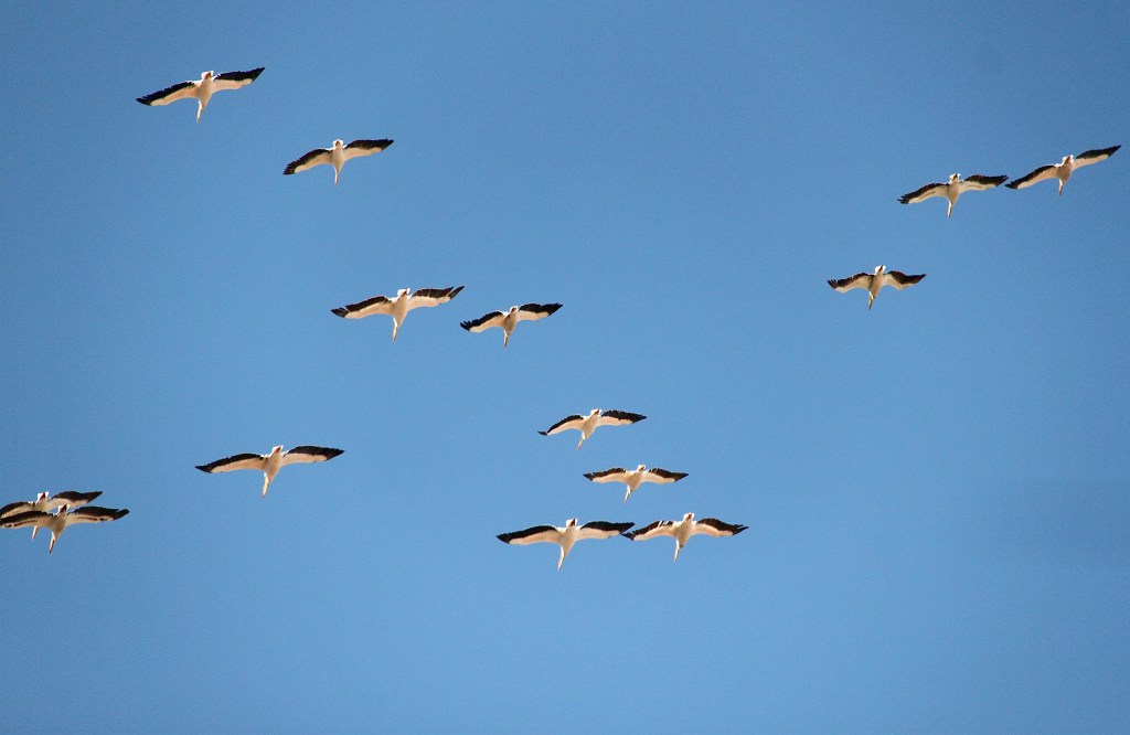
When I arrive in early spring, flights of a hundred or more white pelicans sail gracefully overhead at the “Meeting of the Great Rivers,” where the Missouri from the west and the Illinois River from the northeast converge on the Mississippi just above St. Louis. At rest on the rivers, the white pelicans appear as snow covering the sandbars. Lewis and Clark had a similar experience once they were on the Missouri. “I saw a great number of feathers floating down the river,” Lewis said. “At length we were surprised by the appearance of a flock of Pillican at rest on a large sand bar . . . almost in credible; they appeared to cover several acres of ground.” The Meeting of the Great Rivers National Scenic Byway wanders along the northeastern bank of the Mississippi and then the Illinois for 33 miles from the Missouri-Mississippi confluence north to the Pere Marquette State Park.

Adjacent to Pere Marquette State Park lies Two Rivers National Wildlife Refuge at the confluence of the Illinois River. The 9,225-acre refuge is a stopover for thousands of ducks and geese in the Mississippi Flyway. More than 240 bird species use the refuge either as a migration stopover or for breeding and nesting. Of course, the refuge also harbors native animals and plants in the diverse habitat that includes prairie and grassland in addition to lakes and the river.
The name of the state park commemorates the exploration of Marquette and Joliette along the Upper Mississippi River. A French missionary and explorer, Jacques Marquette is often referred to as Pere (or “Father”) Marquette. Louis Joliet was a fur trader and explorer. The two set out in 1673 with five men to explore Messipi, or some variation of the word in the Algonquian languages, meaning “Great Water” or “Great River.” They entered the Mississippi by way of the Wisconsin River and traveled as far south as the Arkansas River in present-day Arkansas, south of Memphis. French explorer René-Robert Cavelier, better known by his title, “Sieur de La Salle, or just “La Salle,” followed them in 1682, entering the Mississippi by way of the Illinois River and making it all the way to the Gulf of Mexico.
Preceding them all in 1541, the Spanish expedition under Hernando de Soto were the first known Europeans to see and cross the Mississippi, exploring the present states of Arkansas and Louisiana. Early in 1542, they turned back to the Mississippi, where De Soto contracted a fever and died. His men yielded his body to the Great Water.
I remind myself I’m here for birds and so cross Clark Bridge over the Mississippi River onto the wedge of land at the confluence with the Missouri; the Illinois joins a few miles upriver. Here lies the Riverlands Migratory Bird Sanctuary, a U.S. Army Corps of Engineers’ preserve just upriver from Melvin Price Locks and Dam. The 3,700 acres of the preserve encompass a 1,200-acre prairie marsh wetlands restoration that is a primary stopover on the Mississippi Flyway.
In a fortunate collaboration, the Corps established the preserve at the instigation of the Audubon Society that had designated the confluence an Important Bird Area. Nearly 2,800 IBAs have been designated in the U.S. with perhaps the greatest concentration in the Mississippi Flyway, which on the west somewhat overlaps the Central Flyway of the Great Plains.
I stop at the Audubon Center at Riverlands where volunteer John McGrath is on duty. With several spotting scopes pointed out the Center’s broad windows over the Mississippi, he’s busy focusing on whatever migrating birds appear at that moment. “Welcome,” he says as he looks up. “Have you seen the white pelicans?” He points into the blue sky where hundreds are wheeling and soaring above the river. Gladly I look to where he’s pointing and watch a hundred or so pelicans in a loose gathering that somehow stays together as the flock gracefully sways and swings as if on a pendulum—white with black-tipped wings against the blue sky over the flowing river.
“Yes, I’ve probably seen a thousand today,” I respond. “Well, maybe I exaggerate. Hundreds anyway, covering sandbars and sailing overhead.”
“I’ve seen maybe five hundred today,” he says.
McGrath has his spotting scope on some mallards and northern shovelers on the far shore. “Take a look.”
I bend over the right-angle eyepiece to spot the birds paddling along the shore. Since they’re at a distance, I at first have a hard time distinguishing between mallards and shovelers with the males’ similar green heads. But with McGrath’s laminated cheat sheet, I see that while male mallards have a reddish chest, gray body, and yellow bill, the shovelers have a white chest, rust-brown sides, and a black spatula-like bill from which it gets its name. We watch birds for a while: snow goose, hooded merganser, redhead, herring gull, belted kingfisher.
“Have you been down to the confluence?” McGrath asks.
“Oh, I didn’t know you have access here.”
“I’ve often seen different birds there, including a peregrine falcon.” Bald eagles have also been sighted.

Back in my car, I follow McGrath’s directions down a gravel road and a turn to a parking area at Confluence Point State Park. With spotting scope over my shoulder, I follow the path over a berm and then along the Missouri River shore. At the confluence, a concrete walkway leads down to the point at which Missouri’s powerful waters force their way into the Mississippi. These two largest rivers in North America, as measured by length and drainage area, nearly two million square miles, roil together literally at my feet.
The wind is ripping across the point, so I pull my hood up as I look to the right where the Lewis and Clark Expedition began its journey up the Missouri River. Across the Missouri, the Columbia Bottom Conservation Area provides additional habitat for this IBA. The Missouri River wraps around the Conservation Area on the north and northeast as it joins the Mississippi, which forms the southeastern border of the area. The conservation area of 4,318 acres was designated in 1997. A viewing platform within the area provides a scene of the confluence from the other side of the Missouri.
North on the western leg of the Great River Road in Missouri, I enter the town of Hannibal and am pleased to see the community has not become too spoiled as a tourist destination. Boyhood home of Mark Twain, Hannibal is an obligatory stop on an exploration of the Mississippi River. Twain is inextricably linked with the history of the river, if for no other reason than his memoir, Life on the Mississippi.
Twain used his boyhood in Hannibal on the banks of the Mississippi for the setting and characters in his two most famous books, The Adventures of Tom Sawyer and Adventures of Huckleberry Finn. I found that Twain lived up to his reputation as a humorist, for I laughed out loud at rereading these many years after having mostly forgotten the stories.
On his return to the river, recounted in Life on the Mississippi, Twain says,
The only notion of the town that remained in my mind was the memory of it as I had known it when I first quitted it twenty-nine years ago. That picture of it was still as clear and vivid to me as a photograph. I stepped ashore with the feeling of one who returns out of a dead-and-gone generation. … I saw the new houses—saw them plainly enough—but they did not affect the older picture in my mind, for through their solid bricks and mortar I saw the vanished houses, which had formerly stood there, with perfect distinctness. (Climbing a hill for a view of the town) The whole town lay spread out below me then, and I could mark and fix every locality, every detail. Naturally, I was a good deal moved. I said, ‘Many of the people I once knew in this tranquil refuge of my childhood are now in heaven; some, I trust, are in the other place.’

In Hannibal, I wander through the white clapboard house that was the family’s home, with the whitewashed fence outside that figured in Tom Sawyer’s story. Across the street is the “Becky Thatcher” house, actually the home of Laura Hawkins, the childhood friend of Twain who became Becky in Tom’s adventures.
Twain ran into an “old gentleman” on a walk through town and asked him about several of Twain’s former acquaintances. After getting several reports, “I named, with emotion, one of my early sweethearts.” The man replied, “She is all right. Been married three times; buried two husbands, divorced from the third, and I hear she is getting ready to marry an old fellow out in Colorado somewhere. She’s got children scattered around here and there, most everywheres.”
“After asking after such other folk as I could call to mind, I finally inquired about MYSELF:”
“Oh, he succeeded well enough—another case of damned fool. …”
“It was with much satisfaction that I recognized the wisdom of having told this candid gentleman, in the beginning, that my name was Smith.”
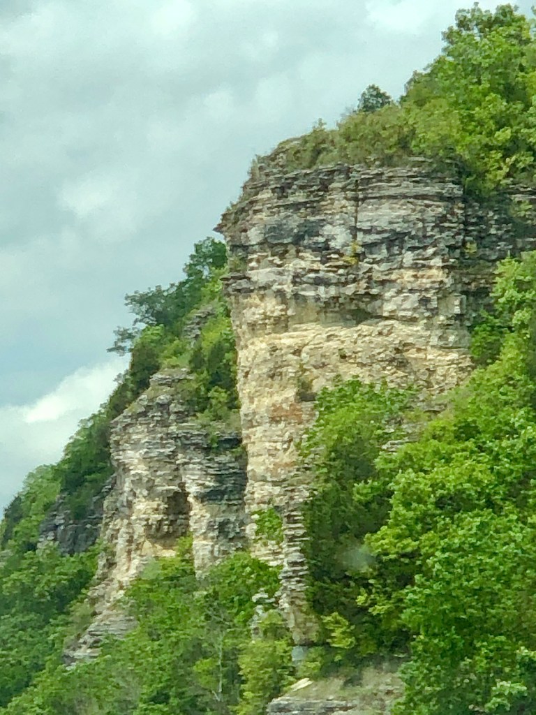
The Wisconsin town of Prairie du Chien sits above the many islands and river channels of the Upper Mississippi River National Fish and Wildlife Refuge that’s at the center of the Driftless Area. The refuge encompasses the largest floodplain habitat in the lower U.S. and so serves as one of the most important stopovers for migrating birds on the Mississippi Flyway. More than 300 bird species have been documented on the refuge, 269 species frequent the area, while 30 plus “accidentals” have been reported that are not normally found on the refuge. During spring and fall migrations, pelicans, herons and egrets, swans, geese, ducks fill the air and sail on the river’s waters, along with the occasional sandhill crane and numerous shorebirds, gulls, and terns. The refuge boasts 250+ eagle nests and perhaps 5,000 heron and egret nests in 15 or more rookeries.
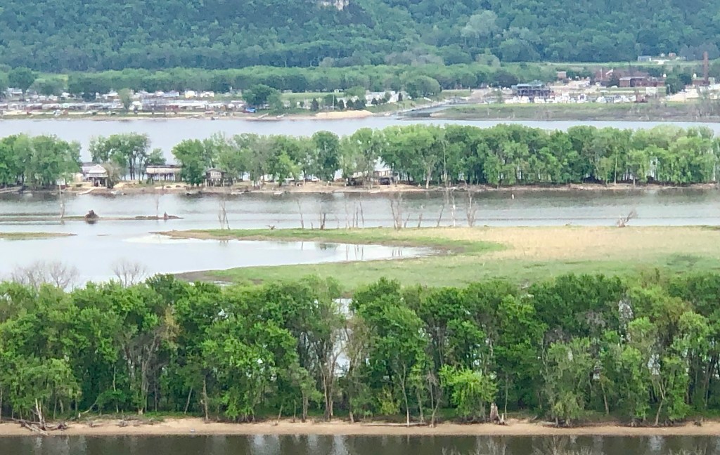
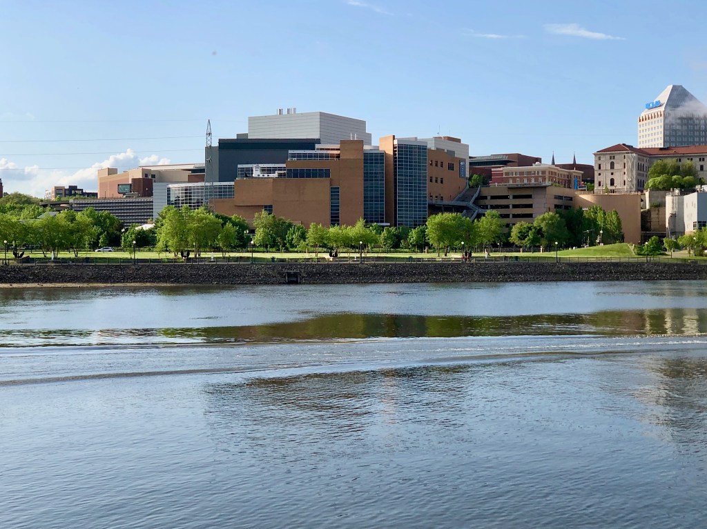
While the Upper Mississippi River Refuge to the north ends at about Wabasha where the Chippewa River from the north joins the Mississippi, numerous parks, state forests, and refuges protect scattered pockets along the river and its tributaries. Beginning at Hastings and extending through the Minneapolis-St. Paul area these various state and regional parks, national wildlife refuges, and state scientific and natural areas are similarly managed as the Mississippi National River and Recreation Area. The organization, Friends of the Mississippi River, works to protect and restore the river and its watershed in this Twin Cities region. In St. Paul, I walk the river shore at Harriet Island Regional Park while local residents hike, run, ride scooters, and picnic within yards of the Great River.
In search of the source of the Great River, I enter 32,000-acre Itasca State Park in northwestern Minnesota that surrounds Lake Itasca. The lake is generally accepted as the source of the Mississippi. Indeed, the outflow from the lake is the first instance in which the name “Mississippi” is used. However, with more than ten thousand lakes in Minnesota, it becomes a bit difficult to clearly separate lakes and streams. For example, Nicolet Creek flows from Nicolet Lake into Lake Itasca. So isn’t the source Nicolet Lake or some other lake or creek that flows eventually into Lake Itasca? Physically, the starting point would be some spring or gathering of rainwater on a slope, whatever’s farthest from Lake Itasca, that flows into a creek that empties into Itasca or some intermediate lake, such as nearby Elk Lake that empties into Lake Itasca by way of the short Chambers Creek. Or up Siegfried Creek that drains from Hall Lake into Elk Lake. Or another lengthy feeder stream that empties into Elk Lake, such as Ga-Gwa-Dosh Creek. Perhaps it helps to distinguish between “headwaters” and “source,” with the entire basin comprising the headwaters and with Itasca Lake indeed the source of the Mississippi.
From the south entrance, I drive north in Itasca State Park to reach the outlet of the lake, which happens to be on the northern end—the river first heads north before turning east and eventually south. A bit naïve about the location of the headwaters, I’m expecting to hike into virtual wilderness to get a look at the river’s beginning. And indeed, Lake Itasca is surrounded by thousands of acres of virtual wilderness, forests of spruce, birch, oak, and maple, including large tracts of remnant old-growth red and white pine forest. However, the park road leads to a wide-open parking lot just a few hundred yards from the lake.
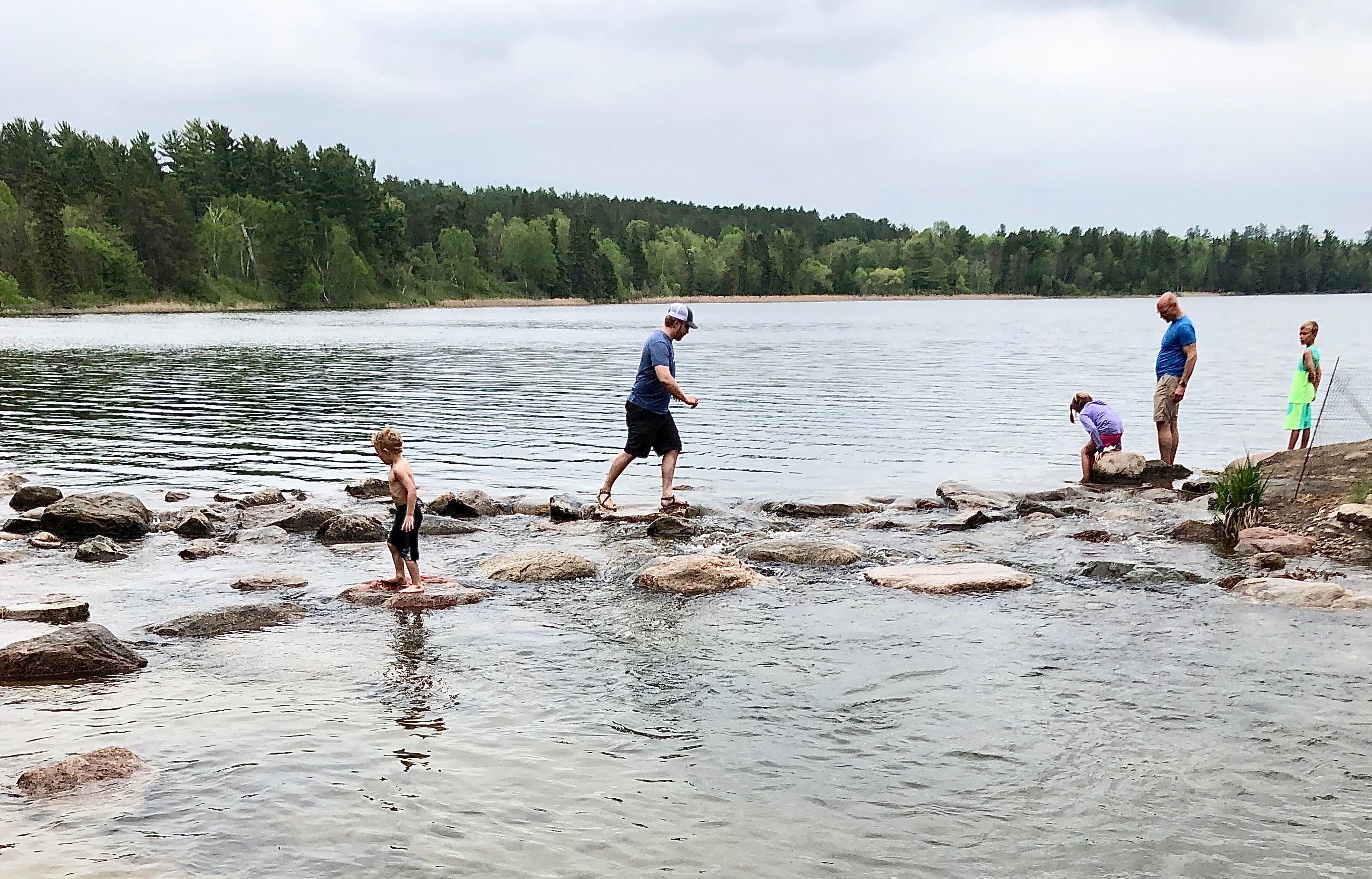
It’s mid-week, so not too crowded. Even so, I join a scattered parade along the broad path to the lake. And there’s the outlet where a line of rocks separates the wide lake from the river. Of course, nearly everyone has to “walk” across the Mississippi River, and so solitude has been sacrificed for having a good time. I’ve seen photos and videos of the outflow from the lake with not a person in sight. The photographer/filmmaker must have asked everyone to stand aside for a moment.
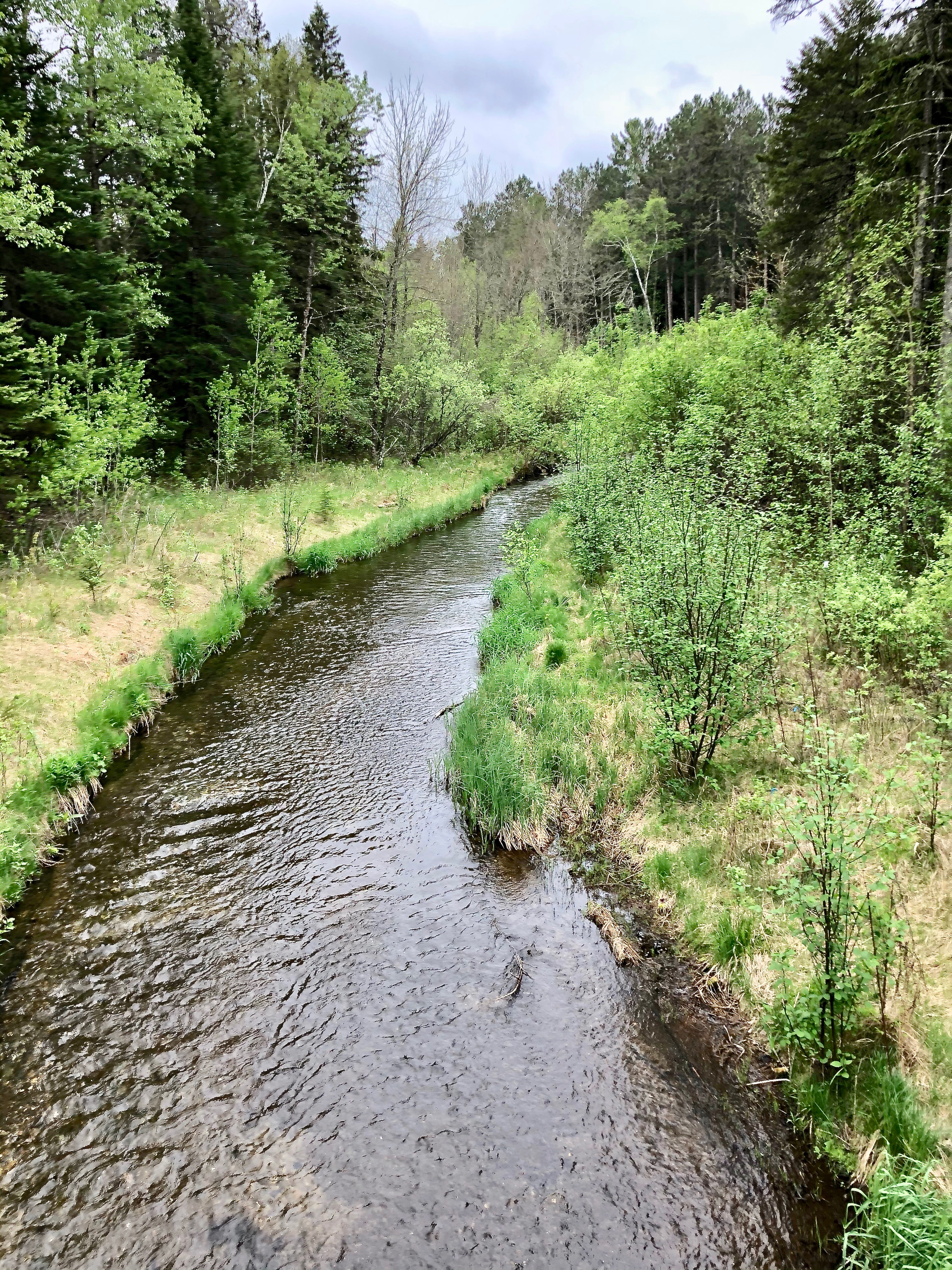
Below the outlet, the flowing river narrows to a mere twelve-foot-wide channel as it begins its journey, not small enough to straddle—one foot on the east side and one on the west. But amusing to say this inconsiderable stream is the Mississippi River.
While the beginning of the Mississippi is a bit open to debate, the end of the river in Louisiana is obvious. After traveling 2,320 miles from Lake Itasca and collecting water from 7,000 rivers and streams in 31 states, the river discharges 600,000 cubic feet of water per second into the Gulf of Mexico. (The length of the river may increase or decrease as deposition or erosion occurs at its delta, or as meanders are created or cutoff. Measurements range from 2,300 miles to 2,350 miles.) The Lower Mississippi is always muddy since it carries silt from the 1.2 million square miles of its watershed. As it approaches the Gulf, the river splays into a delta of numerous channels. Predominantly, at a location called “Head of Passes,” the Mississippi splits into a bird’s foot of three main channels: Southwest Pass, South Pass, and Pass a Loutre (sometimes referred to as “East Pass” although the literal translation from the French is “otter pass”). A branch of Pass a Loutre is Southeast Pass.
Southwest Pass is the usual channel for boats coming upriver from the gulf. To keep the pass navigable, dredging and construction of jetties took place from 1898 through 1913 to create a channel that is maintained. So while Southwest Pass appears to extend the farthest into the gulf, South Pass is actually the southernmost extent of the river delta.
All but Southwest Pass is enclosed in the state’s 115,000-acre Pass-a-Loutre Wildlife Management Area, and to the northeast lies the 48,800-acre Delta National Wildlife Refuge. The entire delta is designated an Important Bird Area by Audubon. This is the southern terminus of the Mississippi Flyway where many bird species overwinter and neotropical migrants stopover long enough to stage their flights to Central and South America.
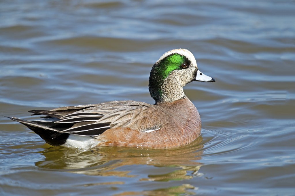
Tens of thousands of migrating waterfowl take advantage of the delta’s food resources in the marshes and willow stands: brown pelican, Caspian tern, American coot, Canada and snow goose, white-fronted goose, Ross’s goose, and ducks galore—mallard, northern shoveler, scaup, canvasback, gadwall, mottled, northern pintail, wigeon, redhead, ringneck, merganser, bufflehead, blue-winged teal, green-winged teal. Raptors soar the skies: American kestrel, northern harrier, red-tailed hawk, turkey vulture, Cooper’s hawk, osprey.


American wood duck: File ID 80378 | © Bobby Deal | Dreamstime.com; Redhead: File ID 40806231 | © Mirkorosenau | Dreamstime.com; Green-winged teal: File ID 41970938 | © Rinus Baak | Dreamstime.com; Lesser scaup: File ID 64162937 | © Brian Kushner | Dreamstime.com; American Widgeon: File ID 67744041 | © Brian Kushner | Dreamstime.com; Canvasback: File ID 68434683 | © Brian Kushner | Dreamstime.com; Mottled duck: File ID 68446930 | © Thomas Olson | Dreamstime.com; Northern shoveler: File ID 82972067 | © Brian Kushner | Dreamstime.com; Northern pintail: File ID 83384477 | © Stuartan | Dreamstime.com; Mallard: File ID 204532444 | © Cameron Ballantyne Smith | Dreamstime.com
Thousands of shorebirds poke around on tidal mudflats and deltaic splays: greater yellowlegs, lesser yellowlegs, long-billed dowitcher, dunlin, Western sandpiper, Wilson’s plover, piping plover, killdeer, willet. Sandhill crane, great blue heron, little blue heron, great egret, snowy egret, roseate spoonbill, white ibis forage along mudflats and in shallow water.
However, the wetlands of the delta are in danger of vanishing. The southern part of Louisiana possesses about half of U.S. wetlands and has suffered almost 90 percent of wetland losses. Once the Lower Mississippi became streamlined with levees, the surrounding wetlands lost the sediment deposited by spring floods and began to dry out. Oil and gas pipelines further cut up the wetlands.
Much needs to be done to restore what we have done to the Great River, not only at the delta but along its entire length past Reelfoot Lake to Lake Itasca. Health of the river is essential for maintaining the Mississippi Flyway as well as the life and livelihood of the people who live and work along the river.
On his steamboat trip on the Mississippi many years after he became a famous writer and humorist, Mark Twain says, “I had myself called with the four o’clock watch, mornings, for one cannot see too many summer sunrises on the Mississippi.”
The dawn creeps in stealthily; the solid walls of black forest soften to gray, and vast stretches of the river open up and reveal themselves; … When the light has become a little stronger, you have one of the fairest and softest pictures imaginable. You have the intense green of the massed and crowded foliage near by; you see it paling shade by shade in front of you; upon the next projecting cape, a mile off or more, the tint has lightened to the tender young green of spring; the cape beyond that one has almost lost color, and the furthest one, miles away under the horizon, sleeps upon the water a mere dim vapor, and hardly separable from the sky above it and about it. And all this stretch of river is a mirror, and you have the shadowy reflections of the leafage and the curving shores and the receding capes pictured in it. … when the sun gets well up, and distributes a pink flush here and a powder of gold yonder and a purple haze where it will yield the best effect, you grant that you have seen something that is worth remembering.
————
© Russ Manning. All Rights Reserved.
An ebook of much longer text and complete references for The Mississippi Flyway: Reelfoot to Itasca can be downloaded from amazon.com