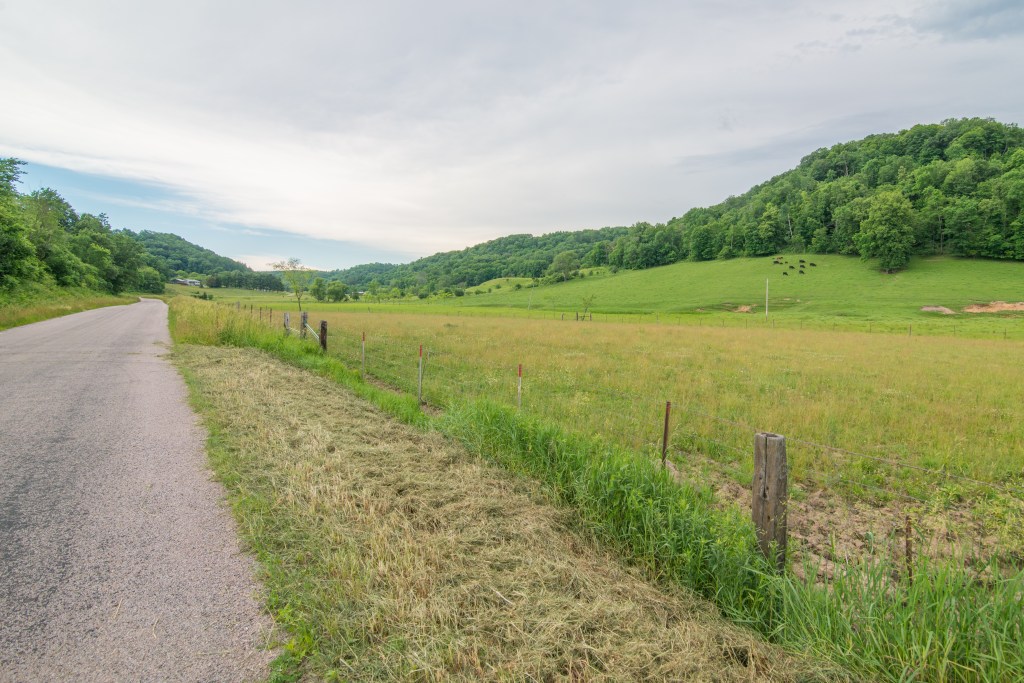
On its way south, the Upper Mississippi flows through a 24,000-square-mile region termed the “Driftless Area” where the river forms the boundary of southeastern Minnesota and northeastern Iowa on the west with Wisconsin and northwestern Illinois on the east. In geological terms, “drift” refers to deposits of rock and soil, especially material left by retreating glaciers at the end of the ice ages. This region did not experience much glaciation for a variety of reasons, including the Lake Superior and Lake Michigan depressions that funneled ice around the area, remnants of mountain ranges in Michigan and Wisconsin that further diverted the ice flow, and also a karst topography that allowed snow and ice to melt into the earth rather than pile up on the surface. Instead, lobes of ice circled the area. Where glaciers might have intruded a bit, the small amount of drift deposited by the retreating ice quickly eroded away. So with the absence of drift, we get “driftless.”
Still on the west side of the Mississippi, but now in Iowa, I travel across a flat terrain as I approach the Driftless Area. All of a sudden, I’m on a steep decline into the Maquoketa River Valley. Look at a map of Iowa-Wisconsin that has topographical features, and you’ll see virtually blank areas surrounding this area with its spider web of topo lines representing changes in elevation.
With not much leveling from advancing glaciers and no deposits of drift, the original topography remains little changed, a unique region in the Midwest, which is typically flatland prairie and agricultural fields. Instead, a rugged and steep terrain characterizes the Driftless Area with bluffs standing hundreds of feet above the rivers. And the underlying limestone dissolves relatively easily, creating a karst geology of caves and sinks. With this varied habitat, a variety of wildlife species inhabit the Driftless Area, including countless birds that migrate or breed in the area. While the Driftless Area National Wildlife Refuge now consists of just 911 acres in Iowa, the authorized boundaries include portions of Wisconsin and northwest Illinois. Where the Mississippi flows through the Driftless Area, the Upper Mississippi River National Wildlife and Fish Refuge protects 240,000 acres along 261 river miles from Wabasha, Minnesota, to near Rock Island, Illinois.

(File ID 153594897 | © Charles Kessler | Dreamstime.com)
The Driftless Rivers National Park Foundation has taken up the task of advocating for a 375,000-acre national park in Wisconsin—“Driftless Rivers” for the confluence of the Kickapoo and Wisconsin Rivers with the Mississippi in the Driftless Area.
Bryan Stanley in The Becoming of the Driftless Rivers National Park says,
Imagine a great national park in the heartland of America. … A northern land where never a glacier has overspread, but merely gently encircled and dreamed about: A land of stunning beauty. … The park would get its name from the region in which it lies—the Driftless Area of north central United States and the mighty rivers that flank it and meet, the Wisconsin and Mississippi. …and the diminutive Kickapoo.
(File ID 173669193 | © NatmacStock | Dreamstime.com)
Banner photo: Driftless Area (File ID 173669284 | © NatmacStock | Dreamstime.com)
